GDi has gathered approximately 200 experts from the industry and academic community in the fields of precision agriculture, spatial planning, environmental protection, management of energy, telecommunications, and transport infrastructure, crisis management, construction, and others at professional seminars in Osijek and Zagreb, who have shown exceptional interest in modern methods of remote data collection using unmanned aerial vehicles, from the air and satellites.
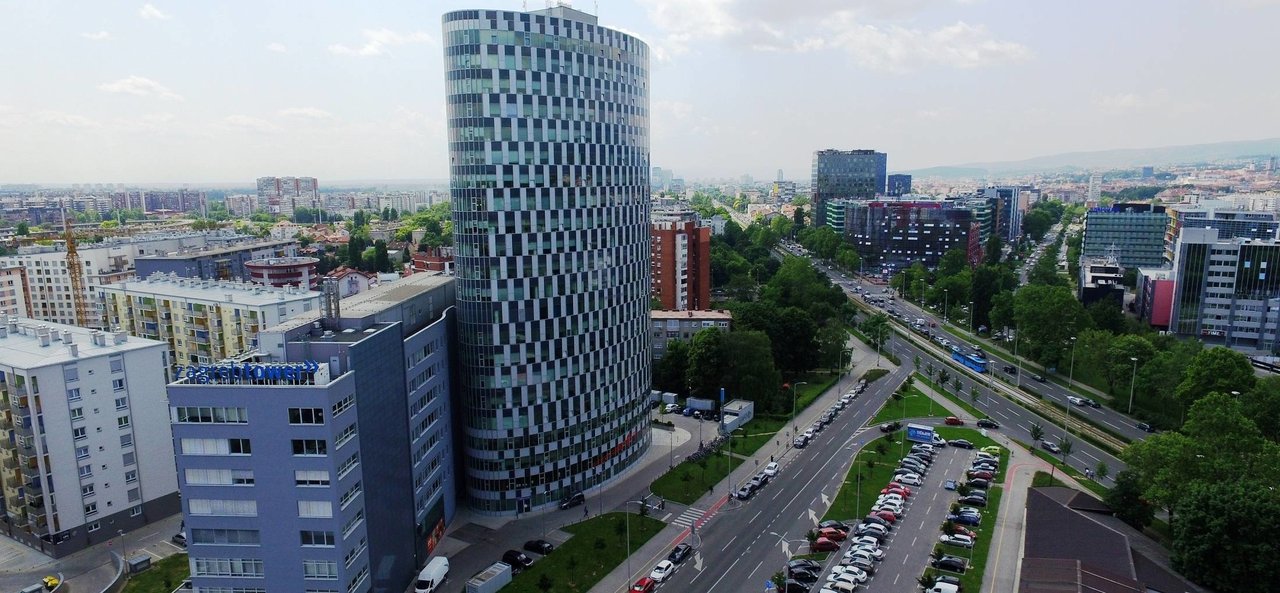
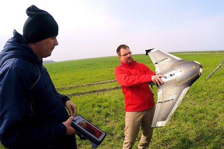
At this professional seminar, users of GDi solutions had the opportunity for the first time in Croatia to see in one place GDi Atlas geospatial information products obtained from data collected by unmanned aerial vehicles or drones in the areas of Zagreb and Baranja. The products presented included very high-resolution drone imagery ranging from 2 to 10 centimeters, enabling detailed measurements of terrain, boundaries, infrastructure monitoring, automated volume calculations, and the calculation of crop health indices using special imagery in the near-infrared and red parts of the electromagnetic spectrum.
Particular emphasis was placed on the application of drones, satellite imagery, and field data collection through satellite-guided mobile devices in precision agriculture, which together enable yield increases through the analysis of every square centimeter of agricultural land, and later precise guidance of agricultural machinery to optimize production costs. Initial recordings were conducted in collaboration with Agrokor’s companies mStart and PIK Belje, which thus rank among the top in the application of this advanced data collection technology on a global level.